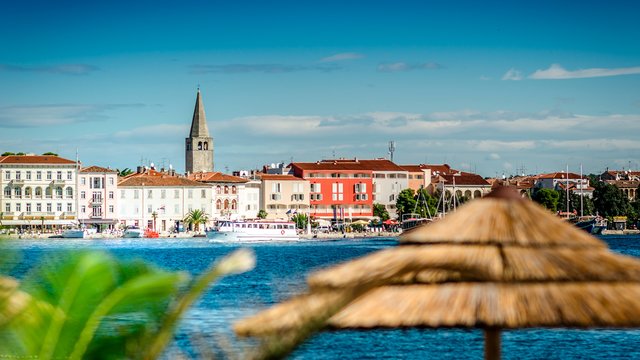
Coordinates on the yacht chart plotter: 42°26.046'N | 18°45.513'E
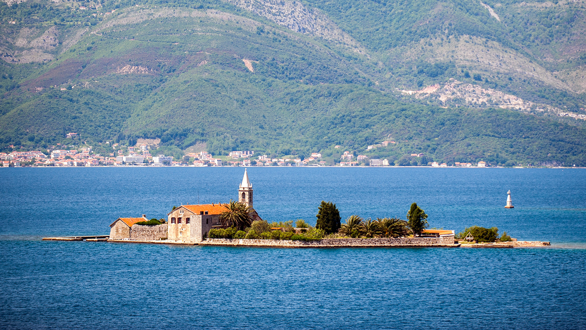
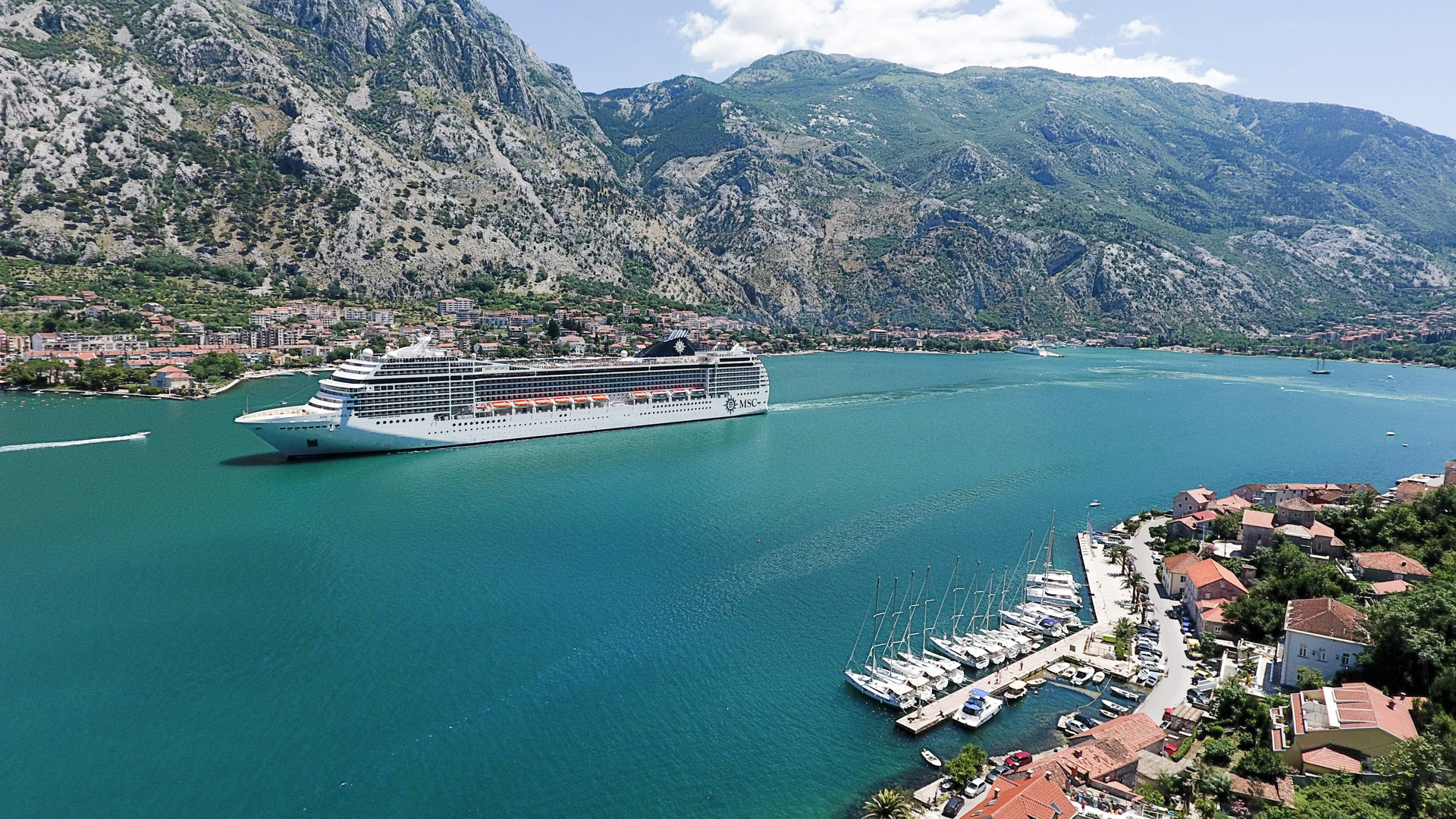
Going on the yacht from the entrance to the bay, take 90 degrees to the east, after passing the Verige narrows. Five miles from there, right after the Prčanj, you can moor in the Muo. Be careful, large ocean liners enter the Kotor’s water area several times a day.
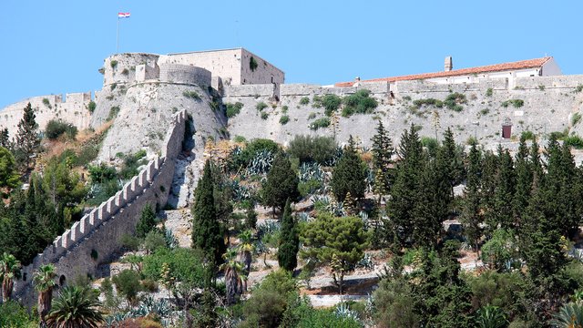
Talking about the sightseeing, we recommend you to visit the church of Saint Cosmas and Damian, built in the 13th century and now buried in verdure. There also begins an old road to the Vrmac mountain. It is possible to get to the fortress with the same name, built in 1860, by this road. During the First World War, this fortress actively participated in the fighting on the side of Austria-Hungary, and during the Second World War, it was used by Italian troops. From there you can enjoy panoramic views of the Kotor’s city walls and of the bay.


